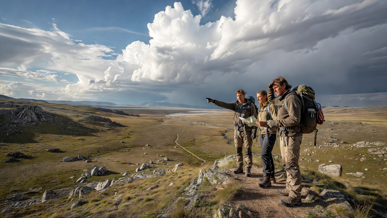
Remoteness is not measured only in kilometres. A short walk can become serious when communications are absent, weather removes visibility or transport options disappear. Conversely, a distant destination may be straightforward with appropriate local support. Plan around the actual dependencies of the journey: roads, permissions, water, navigation, shelter and the ability to change course.
A photography itinerary is particularly vulnerable to overreach because favourable light encourages early starts, late finishes and extended waiting. Add time for those activities rather than fitting them into an already full route. The camera should not consume the margin you need for a safe return.
Iceland’s highlands: the road is part of the landscape
Iceland’s interior combines volcanic terrain with seasonal roads and rapidly variable conditions. A route visible on a map may not be open or suitable for your vehicle. Check official road and weather information close to departure, along with local restrictions and the conditions attached to any rental agreement.
River crossings require specific judgement and can change with weather and meltwater. This guide is not crossing instruction. If a route requires skills you do not have, choose a different route or use an appropriately qualified local operator. Do not attempt a crossing to reach a sunset appointment. Off-road driving can cause lasting damage and is generally prohibited; follow current Icelandic rules and remain on authorised roads and tracks.
Photographically, broad light and small patches of illumination can both work. If a distant ridge disappears into cloud, look for a nearer relationship between ground texture and weather. An adaptable subject is more useful than a rigid list of landmark frames.
Namibia: account for distance and working land
In parts of Namibia, long travel distances and limited services make fuel, water and reliable transport central to planning. Landscapes that appear empty in a photograph may be protected, privately managed, communally used or culturally significant. Confirm permission and arrangements before entering, and use local expertise where the route or conditions require it.
The Namib Desert is not a single unrestricted photographic area. Different places have different gates, permits, operating conditions and conservation rules. Avoid importing the arrangements of one well-known destination into another. Stay on designated routes, respect wildlife distance and do not collect or disturb natural material for a foreground.
Heat affects the photographer as much as the equipment. Plan suitable water, sun protection and rest, and seek qualified advice appropriate to your itinerary. A longer lens from an authorised stopping point may offer a better photograph than an unnecessary walk across exposed ground.
Scottish uplands: modest altitude, serious weather
Areas such as Knoydart and the northwest Highlands show how wet ground, steep terrain and transport logistics can create remoteness without extreme altitude. Ferries, long approaches and limited services may shape an itinerary. Check current arrangements with the relevant operators rather than assuming a departure will run exactly as hoped.
Carry navigation you can use without mobile reception and know how to interpret it. Downloaded maps are helpful, but battery life, cold and device failure remain considerations. Choose backups and skills appropriate to the route. If cloud lowers, the composition can become more intimate; the navigation problem still needs its own solution.
The Puna: altitude changes the itinerary
The Puna of northwestern Argentina presents volcanic and high-desert scenery where altitude and distance can both be underestimated. Allow for acclimatisation and obtain suitable medical advice before travel where relevant. Local guiding can help with practical logistics and interpretation, but it does not eliminate weather, health or access constraints.
A sparse landscape may need only one element to make a photograph: a shadow line, a cloud or a change in surface colour. Resist turning every visible feature into another stop. Fewer destinations can mean more time to adjust to conditions and engage with the place.
Decide what will make you turn around
Before departure, identify decision points. These might relate to the time remaining, worsening visibility, a closed road, unexpected water or a member of the group feeling unwell. A turnaround plan should be understandable before the excitement of the scene makes compromise tempting.
Leave an itinerary with a reliable contact, including what to do if you do not return as expected. Understand local emergency arrangements and the limitations of your communication method. Specialist devices require preparation and do not make an unsuitable route suitable.
Keep the alternative worth doing
Plan a lower, closer or better-supported option that still interests you photographically. This is not a consolation prize. Photographing a village edge, a roadside geological detail from a permitted stopping place or changing weather near your accommodation can produce a more considered image than completing an overextended route.
Remote places reward preparation because preparation creates attention. When the essential decisions are sound, you can spend more of the visit observing—and leave before the landscape asks more than you can responsibly give.